To learn where to find adventure in America, all you have to do is flip through the travel and outdoor magazines at Hudson News. Or, like I did moments before typing these words, scroll through one of those publication’s websites (Instagram works, too). But you can probably guess the obvious destinations without researching at all: places like Colorado, Yellowstone, Utah, and Yosemite.
I’m used to the absence of my own home, Vermont, or more broadly, New England, from the realms of popular adventure storytelling—the region does get some credit, though not on the same epic scale—and I know that the reason is wrapped up in history. Vermont was granted statehood in 1791, making it 99 years older than Wyoming, politically speaking. That’s 99 more years for settlers to snap up and de-wild every available parcel of land (a process that began even earlier, with British colonists). By the time Wyoming entered the Union, my home state was 80 percent deforested.
That stat is reversed now, but it doesn’t change the fact that New England, as the oldest region in the United States, was developed long before the existence of the land protections that helped create the outdoor playgrounds the West is famous for. The National Park Service wasn’t established until 1916, part of the reason why Acadia in Maine is the region’s only national park. BLM land isn’t a thing here, either.
Nevertheless, this spring I set out with two longtime companions to prove what we as locals already knew: Adventure is attainable here. Real adventure, the kind with unexpected snags, mental tests, and, we hoped, strengthened bonds. The idea—journey to the ocean—was a bit like an old-fashioned quest. More specifically, we planned to bikepack from the shore of Lake Champlain in Vermont to the coast of the Atlantic in Maine while avoiding pavement as much as possible.
Plotting a 250-mile, dirt-centric route required some creativity and good ol’ fashioned resourcefulness, but two New England infrastructural quirks helped us do it. First, the region has a far-reaching network of dirt roads—of Vermont’s 15,765 roadway miles, less than half are paved, and the rest of the Northeast follows suit. Second, New England has a growing network of recreational rail trails. Stripped of their ties and rails, these retired railroad beds are ideal for bike riding, particularly because the engineers who designed them sought as level a route as possible in a region undulating with mountains.
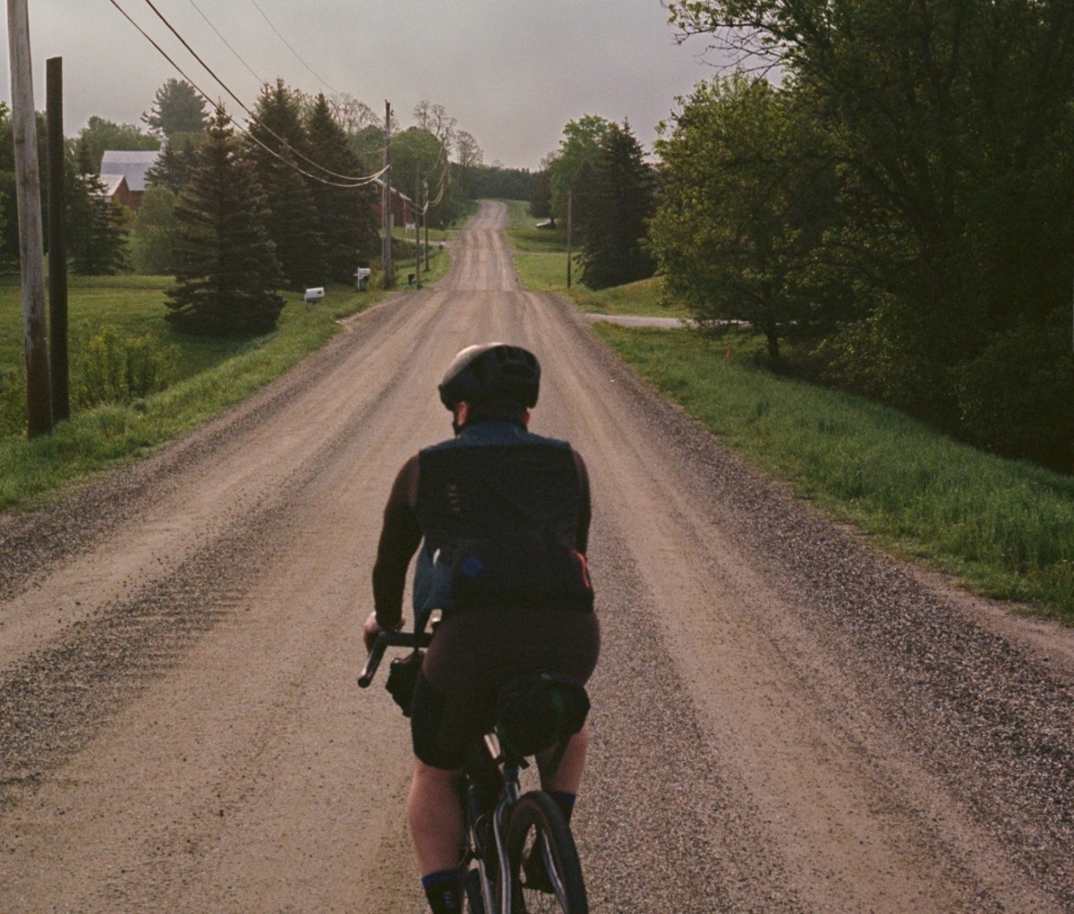
Unfortunately, no such path was available to us on our first day as we cut through Vermont’s Green Mountains on our way from Burlington to Montpelier. Burlington may be the state’s largest city, but it doesn’t sprawl, and within half an hour of setting off we were riding in the company of dairy cows while cruising by barns and fields. Before long, we struck dirt, made our way out of the Champlain Valley, and began the day’s largest climb.
It was self-inflicted suffering. We chose it for the sake of scenery and to adhere to our compact to avoid asphalt (on the other side of the climb, a winding three-mile descent made it worth the sweat). The only way to get from one side of Vermont’s famous mountain range to the other in this area is to follow the Winooski River. One of the state’s only two major highways is on one side of the river, and a dirt road is on the other. A month or so prior, that dirt road would’ve been a rutted muddy soup, but on this day it was packed and firm. We made quick work of it, though not nearly as quick as a pair of local cyclists who passed us headed in the other direction, dust clouds billowing cartoonishly behind them.
One of them turned out to be the wife of a local pro cyclist, and it just so happened that the dirt route we used to get out of Montpelier on our second day came directly from spying on his Strava account. (Again, planning an adventure ride in New England requires creativity.)
Finally, we arrived in a tiny village called Plainfield. The women working at the local co-op let us refill our water bottles at the back sink, and after that we picked up our first rail trail. There’s a small parking area but nothing else (not even a trail name), to let you know that, starting here, you can cross nearly half the width of the state by foot or bike or horse or snowmobile without crossing paths with a car. Some sections are just a single dirt rut through the woods, and others overlap with makeshift roads that locals use to access their maple sugaring operations or deer camps. The surface is remarkably rideable—mostly packed earth with some sandy spots—and it’s all under an arching forest canopy: the famed Green Tunnel.
This rail trail is actually one of multiple trails that make up the longer Cross Vermont Trail, a recreational greenway that traces a sketchy latitudinal line across the widest part of the state. The idea for such a route was first envisioned in the early ’90s and inspired largely by a U.S. Department of the Interior document called Trails for All Americans. The report called for a cohesive nationwide system of trails. The project could only be the result of a collaborative effort between governments, businesses, private organizations, and individual citizens to establish and protect possible trail corridors.
Rail trails are a convenient asset for the creation of such a network. For a cyclist, riding on them often feels like getting in on a secret: a path through the woods and mountains that’s flat and free of obstacles (for the most part). They allow you to move at a decent clip—we averaged 12 mph on the second day—and cover a lot of ground. Instead of cars whizzing by, it’s boulders, trees, and the occasional dog walker. Instead of engine braking and exhaust sounds, the soundtrack is a mix of birdsong and the up and down of the pedals beneath you.
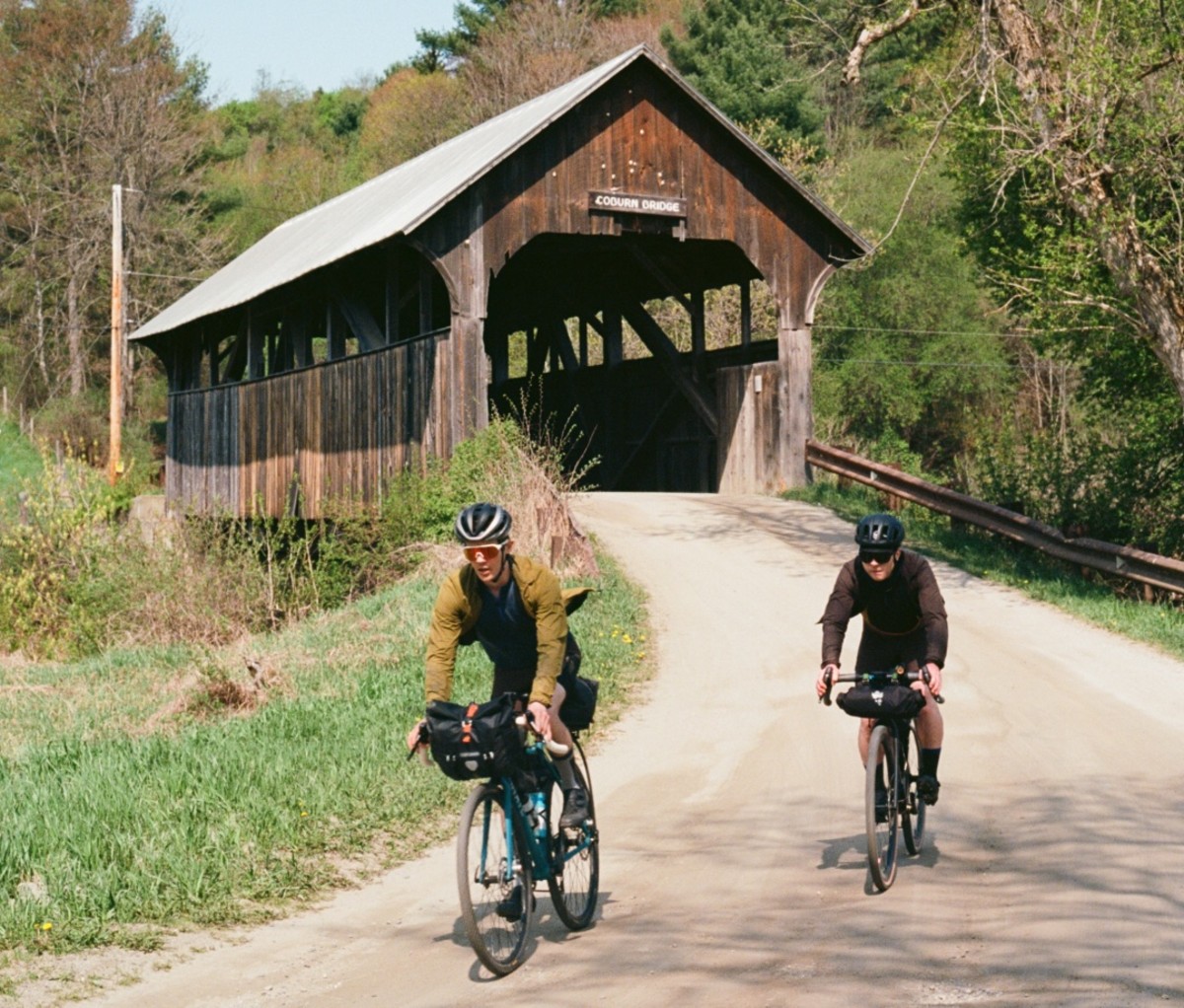
Three decades later, the Cross Vermont Trail is still under construction, but it is very much the patchwork that the report proposed. We had actually been riding on it at various points since the moment we clipped in on the first morning, and we continued on it all the way to the Connecticut River, where we rolled across a bridge to enter New Hampshire.
If you’ve never been to New England, you’d be forgiven for thinking that all those tiny states jammed into the corner of the map must be pretty similar, but you’d be wrong. Even if you miss the “Welcome to New Hampshire” sign on the side of the road, you’ll still know you’ve crossed from one place into another. It’s not just the Live Free or Die mentality; the towns are different, the roads are different, and it turns out the cycling trails are, too.
We picked up the Ammonoosuc Rail Trail across from the Dunkin’ in Woodsville, NH moments after crossing the border. The path, part of the state’s own conglomerate of bike routes called the Cross New Hampshire Adventure Trail, follows its namesake river northeast for 19 miles, connecting the various small towns set along its banks. Instead of the loam and dirt and sand we’d known up until this point, the trail is almost all ballast—big, chunky rocks, as if the railroad had been removed just a few weeks before our arrival. (It actually happened in the ’90s.)
It made for challenging, frustrating, wrist-rattling riding, even with the oversized tires on our gravel bikes. The 80-degree heat didn’t help, either. We passed an old railroad depot and an older covered bridge, but their historic significance was beyond the grasp of my vibration-jolted brain.
By the time the trail ended in Littleton, our calves and forearms were caked with the railbed’s fine black dust. Thirty minutes prior, each of us had been in his own fraught headspace, but with the day’s journey complete, that separation just punctuated how much we’d already accomplished together. We washed off the dust, then washed down the day at a local brewery.
Most people associate vast, expansive views of uninhabited wilderness with the West, and these kinds of vistas are comparatively rare in New England. Yet that’s exactly what you see as you ride eastward toward the White Mountains on the Presidential Recreational Rail Trail. Ponds, beaver-dammed swamps, and seemingly endless forest paint the foreground, but the Presidential Range’s looming ridgeline dominates it.
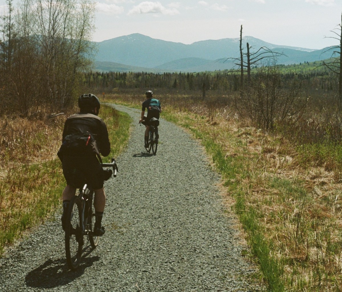
They’re only some 50 miles apart, but New Hampshire’s Whites are far more imposing than Vermont’s Greens. They seemed wilder as we rode toward them, too, and they are—Mt. Washington, the range’s tallest peak at 6,288 feet, has recorded some of the fastest winds on Earth at its summit (231 mph). Then there was the bear that appeared 100 yards in front of us.
We knew bears are common in the region. We’d seen a dog earlier in the day that, from a distance, we thought could’ve been a bear, but we kept riding toward it until we could tell for sure. When we saw the real thing, we knew immediately. It was a medium-sized black bear, and we watched as it came through the trees and onto the bike trail. Gravel grated beneath our skidding tires, heartbeats elevated even higher than they’d been from riding, and we released a stream of expletives into the air. This was an obstacle we didn’t expect, and one we weren’t sure how to handle.
Adventures are so often conceived as far-flung journeys while local trips mean low stakes. But as we stood there wondering how the animal would react to our strange herd, our ride felt decidedly wild. Fortunately, it was headed in the same direction as us, toward the mountains. We watched as it trotted down the cut and disappeared into the woods.
There’s a moment during all journeys where the motions of travel become routine: packing, strapping the bags to the bikes, starting a new section of trail, noting changes in the landscape, encountering new views, riding through towns previously unvisited. It can seem anticlimactic, but it’s closer to the opposite. It’s a state of constant thrill, constant change.
I knew we’d achieved it when, moments after the bear, we clipped in and carried on. As noted bikepacker Alastair Humphreys once put it, “It’s easy to kill time, but you can kill distance only by riding.” So we did.
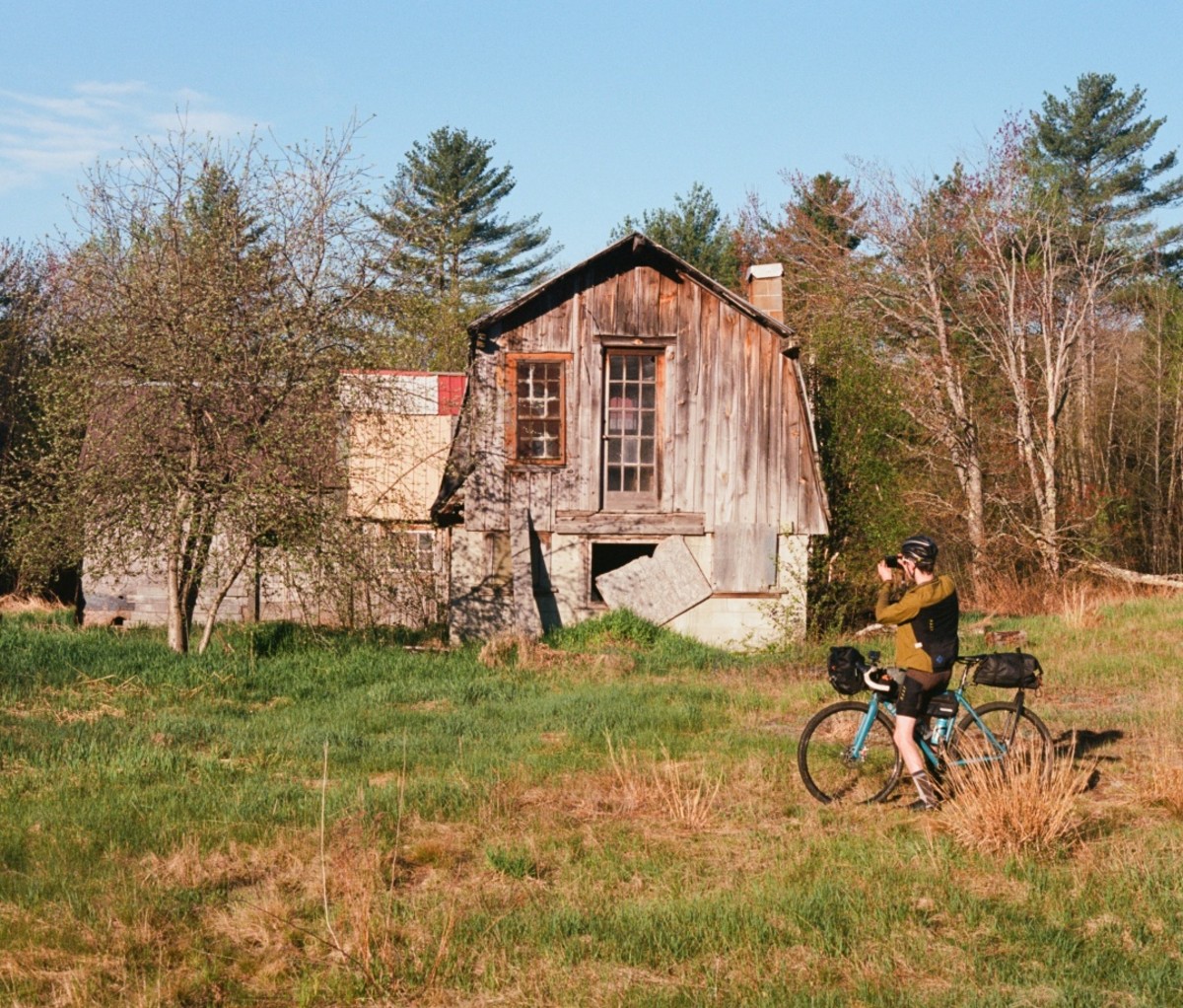
We rode through the White Mountains and into the town of Gorham, where we crossed the Appalachian Trail—300 miles from its terminus in northern Maine and not a hiker in sight. After an 18-mile jaunt on a cracked and narrow paved road beside the Androscoggin River, we entered Maine. There was no marker to announce the border, and the woods showed no sign of reverence to the invisible man-made boundary. Eventually we rolled into Bethel, ME, where we stopped for a final night and ate burgers at an empty hotel restaurant.
We woke up before sunrise on the last day to beat the unseasonable heat. For the first time in our journey, we pointed our wheels south, toward the sea. On a map, going south sometimes seems like going downhill, and it was true that we had to lose every inch of elevation between Maine’s Mahoosuc Range and Casco Bay. But while Vermont and New Hampshire are cleaved by spiny north-south mountain ranges, Maine is more like a disheveled bedspread, wrinkled with hills. There were no rail trails to carve out a level grade through them, either.
So up and down, up and down we went, rolling past farm, field, and forest for 70 miles until we re-entered the urban grid on the outskirts of Portland. By the time we reached the rocky beach in the city’s East End, the day’s climbing totaled nearly 3,000 feet.
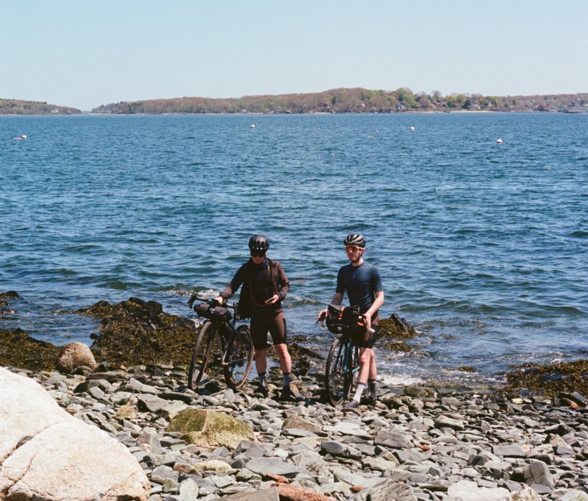
We dipped our tires in the water—our small ceremonial rite to mark the journey’s end—then clipped back in and rode into town toward a new destination: an oyster bar. The paved bike path we rode on to get there used to be a railroad.
from Men's Journal https://ift.tt/MXu1CfB


No comments:
Post a Comment