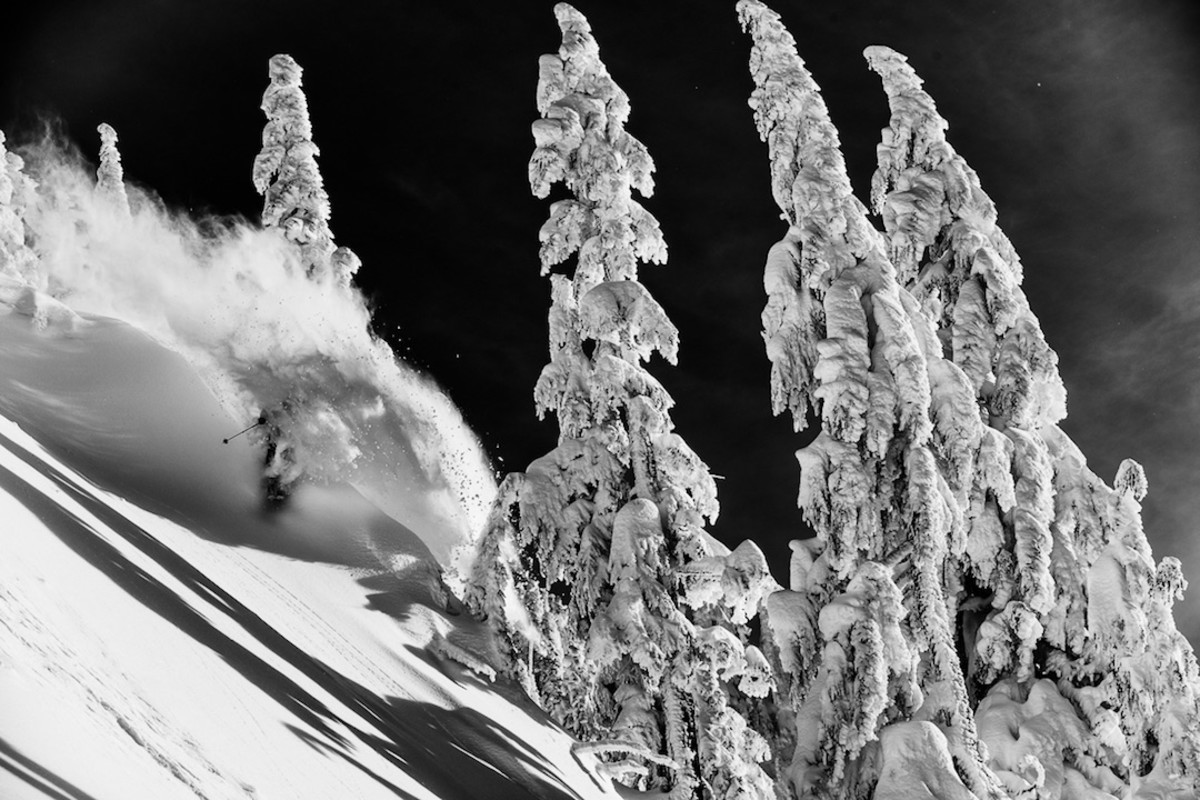
The first big storm cycle of the winter just buried the Pacific Northwest, dumping more than 8 feet of snow in the last two weeks.
“The northern Cascades have been the spot to chase powder so far this winter,” says Steven Conney, from Powderchasers.com, a snow forecasting website. “There’s been a significant storm almost every other day from just after Christmas through the first week of the new year.”

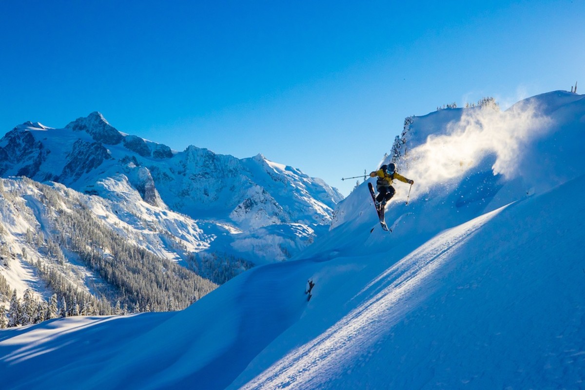
The focus of what he calls an “atmospheric river of moisture” has been right along the U.S.-Canada border. Washington State’s Mount Baker Ski Area and British Columbia’s Whistler-Blackcomb got the most of it, with both recording around 8 feet of snow. Steven’s Pass and Crystal Mountain did well too, says Conney.
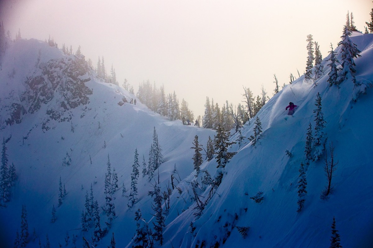
“Crystal went from seeing thin spots in late December to full on coverage in just a week,” he reports. “I was there on January 6th with 13 inches of new snow overnight, but over 30 inches in the three days perviously.”


Temperatures have tempered Conney’s enthusiasm.
“It has not been blower pow,” he says. “The freezing levels have been higher than expected.”
This winter was supposed to be a La Niña, a global weather pattern that typically brings cold and snowy conditions to the PNW and northern Rockies. Instead, Tyler Hamilton, a meteorologist with The Weather Network, says it’s acting more like El Niño, which tends to bring lots of moisture, but warmer than average temperatures.
The culprit for the character swap is a more powerful than normal jet stream that’s mixing warm air from the south with storms spinning out of low pressure in the Gulf of Alaska.

It’s not just the PNW that’s feeling the effects. While they’ve missed out on the big dumps, most of the U.S. western mountain ranges have average or above average snowpacks right now. And then there’s Japan, where some ski areas have recorded 26 feet of snow already this winter.
In the same window that brought so many flakes to the Cascades, Japan got absolutely pummeled. The active jet stream pulled Arctic air out of Siberia and across the Sea of Japan, creating lake-effect style squalls in the Japanese Alps – but sumo-sized. Hamilton says up to 12 feet of snow fell in the last couple weeks. With temperatures as low as -30 F, it was definitely blower.
The jet stream will likely weaken this week, says Hamilton, as high pressure pushes most of the moisture north into Canada, out of reach of U.S. storm chasers because of travel restrictions and quarantines. A weaker storm will bring some snow to Oregon and maybe a descent dump in New Mexico, says Conney, but otherwise it will be quiet for most of the U.S. until at least the middle of the month.
After that, Conney says keep watching the PNW. He expects it will get hammered again.

from Men's Journal https://ift.tt/2XCETIf
No comments:
Post a Comment